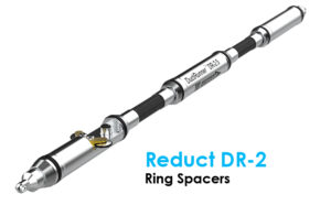
by Reduct
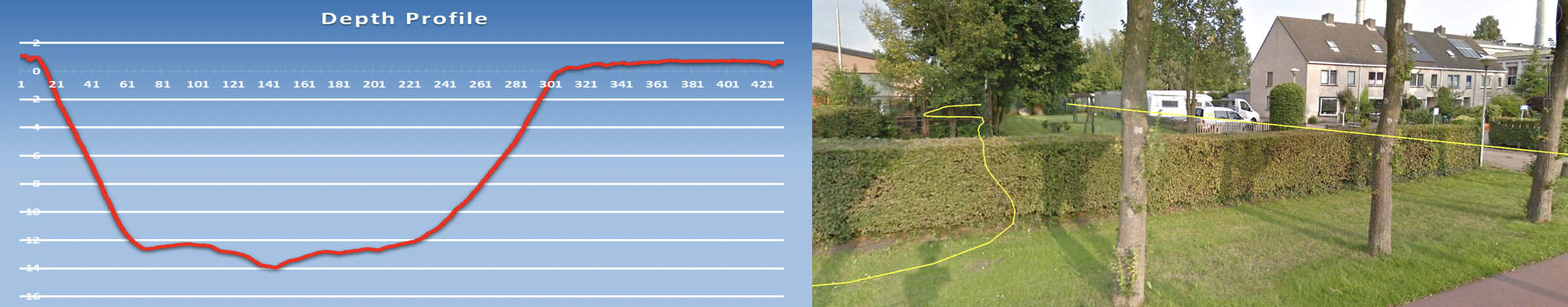
Pipe Material: HDPE
Pipe Size: 1.5″ ID
Pipe Length: 1,416′
Pipe Depth: 45′
Product:
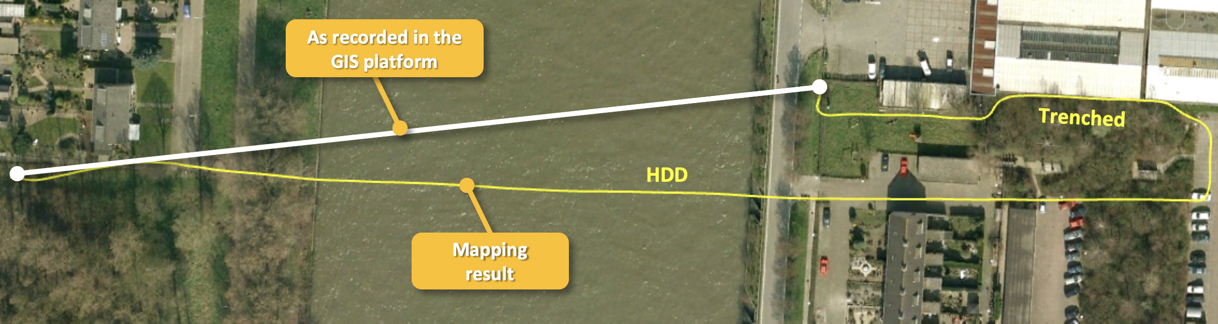
A telecom utility was requested to provide duct depth information to the waterway authorities ahead of a planned deepening of the canal that the duct crosses. The utility owner realized that for this particular HDD crossing, the data stored in their GIS platform was unreliable, so they commissioned a gyro survey.
The mapping result proved this to be a wise decision because the actual location of the duct infrastructure was significantly different. In fact, the segment contained an HDD and, subsequently, a trenched segment back to the public road.
Although this is an extreme case, all too often, as-built data stored in GIS platforms is as-planned/as-permitted data, or in case both of those are not available, a straight line between the nearest known manholes. At first sight, straight lines may appear plausible for HDD segments, but in reality, and with 20+ years of data to prove it, they hardly ever are!
For more information on the Reduct DR-2, click here.